Hand-Drawn Trip Planner
Shareable hand-drawn schedules and maps
Hand-Drawn Trip Planner
Shareable hand-drawn schedules and maps
Showcase
Description
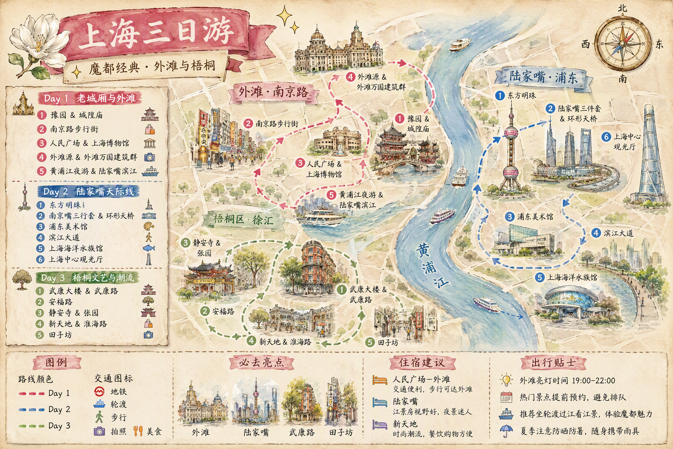
Turn a destination, trip length, and scattered preferences into a multi-day travel plan with logical routes and clear information, then create two shareable landscape hand-drawn travel posters. Whether you provide only “city + number of days” or already have a list of must-see attractions, the plan can organize daily themes, stop order, suggested times, visit duration, meals, breaks, and transportation to minimize backtracking. Any attractions you specify will be fully preserved. When information is incomplete, the plan supplements it with destination attractions, opening information, transportation connections, and practical tips, clearly marking uncertain details for confirmation. You’ll receive two matching visual versions: a daily schedule divided into columns by day, and a map poster centered on a hand-drawn destination map and route. Both images consistently show daily routes, numbered stops, transportation legends, landmark illustrations, and travel suggestions. They use a gentle watercolor hand-drawn style, paper texture, and destination elements, making them suitable for saving, sharing, or publishing as travel content. Text in the images follows your input language: Chinese input produces a Chinese image, and English input produces an English image, avoiding a mix of Chinese and English.
Recommended by
Dancang
Why we love this skill
Turns scattered travel needs into a coherent multi-day route and generates both a schedule graphic and a hand-drawn route map in one go.
Best for
Users who need to quickly plan travel routes and create travel content they can save, share, or publish.
How to use this Skill
Provide your input
Provide a destination and trip length. You can also add your starting point, interests, preferred pace, transportation preferences, and must-see attractions.
Run the Skill
The system organizes attraction order, timing, visit duration, transportation connections, and practical tips to plan a smooth route with minimal backtracking.
Review your result
Get a multi-day travel plan plus matching daily schedule and hand-drawn map route posters for easy saving and sharing.
Related Skills
View all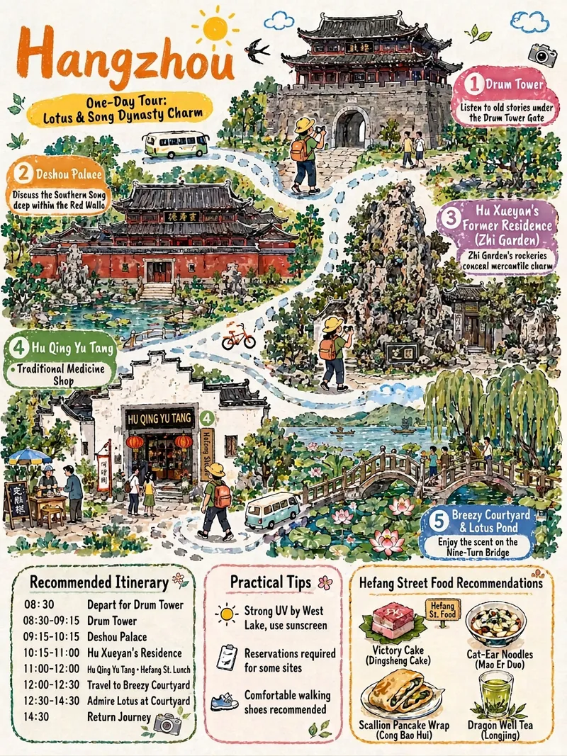
China Travel Itinerary Sketch
Given a destination, it automates the full workflow: verifying opening hours, transportation, and real landmark details; planning a day-by-day itinerary; and then generating hand-drawn cultural travel illustrations in a consistent style. It ensures landmarks are not fabricated, Chinese text is proofread character by character, time information is independently presented, and the art style remains consistent across days.
 Image
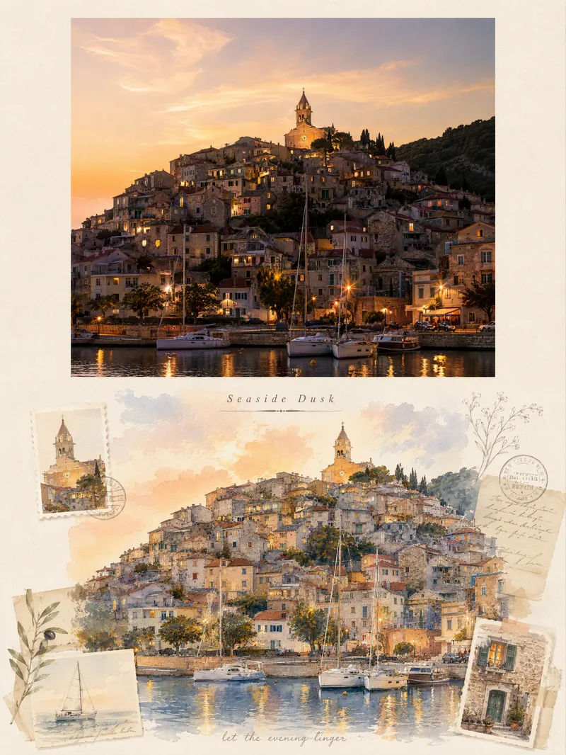
Viral Travel Journal Poster
Turn a single travel photo into a 3:4 vertical romantic travel journal poster that combines a sense of memory with an illustrated aesthetic. The upper half preserves the original photo’s subject, composition, colors, lighting, and shadows, framed with a natural warm-white paper border. The lower half reimagines the scenery and spatial relationships from the original photo as a full-bleed horizontal gouache-and-watercolor collage, giving the same journey a more artistic second expression. The design extracts distinctive architectural, botanical, transportation, or scenic elements from the photo and combines them with hand-drawn stickers, landscape stamps, stationery, postmarks, and delicate botanical lines, layered with soft warm light, paper texture, and restrained decoration. Based on the scene, it automatically creates an elegant English serif title and short handwritten English text, making the poster feel like a carefully crafted travel journal page rather than a standard photo layout. It suits photos of seaside towns, city walks, natural landscapes, cafés, travel sunsets, and more. You can also guide the creation with a specific scene mood, color preference, or title copy. When no photo is provided, it can first generate a realistic travel photography base image from your scene description, then create the complete poster.
 Image
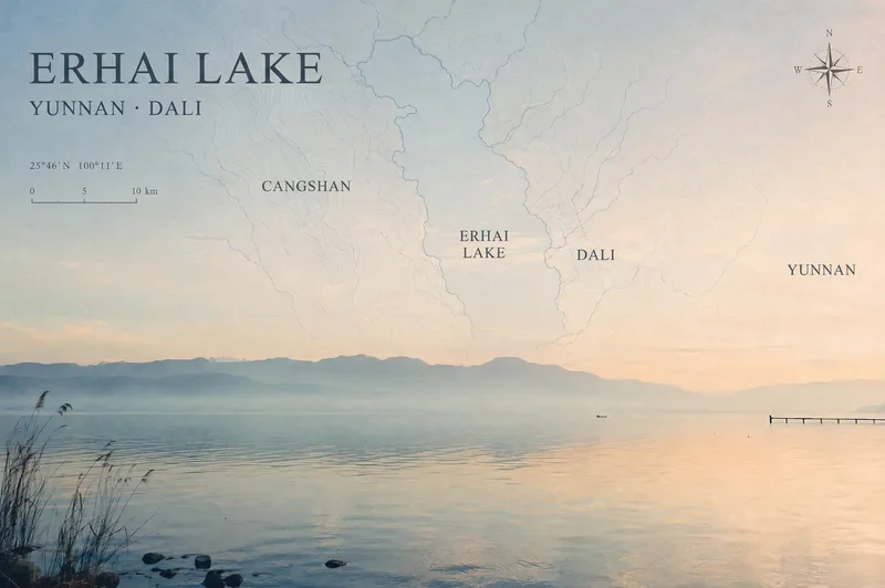
Travel Photo Map Poster
Turn a travel photo into a map poster with geographic information and an independent magazine sensibility, while preserving the original subject, colors, lighting, composition, and aspect ratio. Simply provide a photo and shooting location, and the poster will use real local terrain to select map elements such as coastlines, lake shorelines and waterways, urban streets and lanes, or mountain-ridge contours. These elements are layered into negative space such as the sky, sea, or walls to avoid covering the main subject. The poster includes a title, subtitle, and a small number of real place names in the local official language, along with a refined compass rose, scale bar, and a small red dot marking the approximate shooting area. When location information is unreliable, precise coordinates are not fabricated. The overall design uses low-saturation, light-colored linework, natural fade-outs, and a subtle paper-print texture for a restrained, clean Travel Map Poster / Travel Zine style. It is suitable for preserving travel memories, creating destination keepsake posters, or adding map-based storytelling to landscape, architectural, and urban photography. After generation, you can further fine-tune the map’s opacity, scale, title placement, and font style as needed.
Information
- Version
- v4
- Last updated
- Runtime credits
- Usage-based
- Models
- Auto
- Use cases
- Images & designLifestyle & entertainment
- What you get
- ImagePlan
- Visual styles
- Hand-drawnWatercolorPaper art