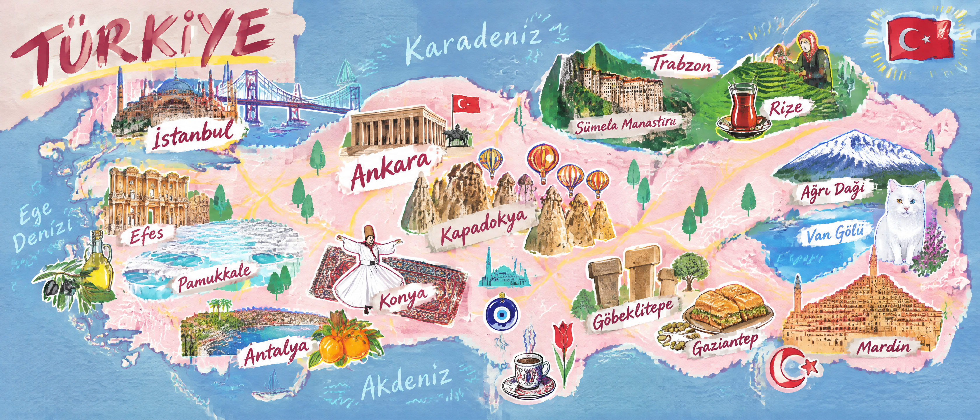
Illustrated Place Map
generates hand-drawn maps of places worldwide
Illustrated Place Map
generates hand-drawn maps of places worldwide
Showcase
Description
Users provide only a place and a display category; via a login-free map webpage and Browser Use, the skill automatically captures screenshots, searches for representative elements and their regions, and generates hand-drawn themed illustrated maps of places worldwide.
Related Skills
View all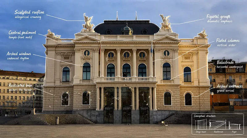 Image
Visual Scene Annotator
Turn a photo into a visual explanation of why its details matter. The Skill traces meaningful angles, shapes, joints, layers, and components on the original image, then explains their function, visual meaning, relevant background, and possible design influences. When useful, it adds a clearly labeled conceptual cutaway or exploded view beside the photo to show how the subject may be structured inside. Observed facts, verified context, and visual inference remain clearly separated.
Information
- Version
- v11
- Last updated
- Runtime credits
- Usage-based
- Models
- Auto